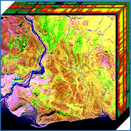
HYPERSPECTRAL IMAGERY: OIL SANDS
Fort McMurray
The Oil Sands Data project included the collection of hyperspectral, lidar and digital image data in five project sites at and near Fort McMurray using a fixed wing aircraft with lidar system and hyperspectral sensor. A combined GPS/INS System (Inertial Navigation System) is used for aircraft attitude and position. Approximately a total of 1038 km2 was covered on this mission. Flight height was approximately 1500 metres above ground level to retain 2 metre spatial resolution for hyperspectral Imagery. Calibration flights were conducted at Fort McMurray Airport (YMM), AB Canada.
Taking random samples throughout the project area, the average point density for a single flight line is approximately 5 pts/m2. Due to the fact that the majority of the area is covered by overlapping flightlines, the point density averages closer to 10 pts/m2.
TRSI established four static control points in project sites to validate horizontal and vertical alignment for lidar points. The static stations used concurrent observations from Pleiades Data Corp Active Control System Station PFTM located in Fort McMurray, Alberta.
Metadata
-
Data Provider
NRCAN & University of Victoria
-
Contributors
Terra Remote Sensing Inc (TRSI)
-
Coverage
Partial coverage
-
Currency
-
Product Type
Raster
-
Format
ENVI (HDR, DAT)
-
Projection
UTM (Zone 12)
-
Accuracy
2 metre spatial resolution
-
Other Specifications
NAD83 Original
-
Publisher
Alberta Data Partnerships
-
Data License
Open Data Areas Data License

